 |
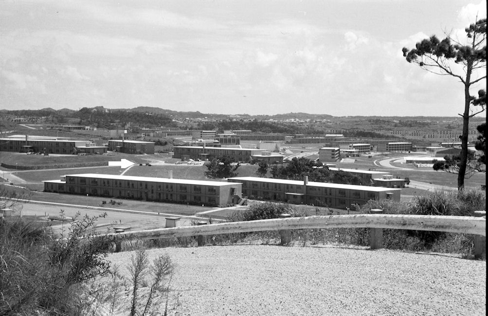
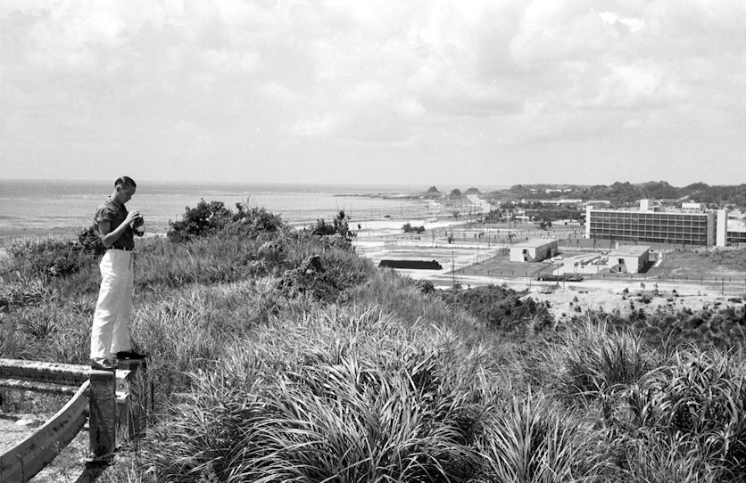
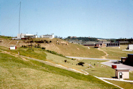
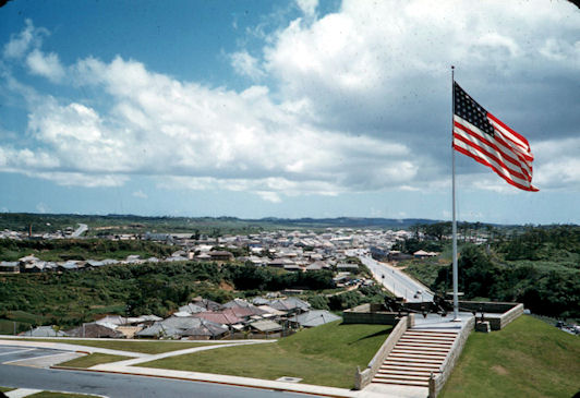
| Looking South from high point near water tank. The sat picture (Below) appears to show the tank still where it was in 1958/59. The barracks shared by the First Special Forces unit and the 14 RBL enlisted personnel are left foreground. The barracks at the right foreground was occupied by the Ryukuyan Armed Forces Police. B&VA PAC HQ and 14th RBL are in the building on the hill immediately behind. to the left and in front of this building you can see the unit sign flanked by two guns. (White Arrow) ....Gary Gloyd |
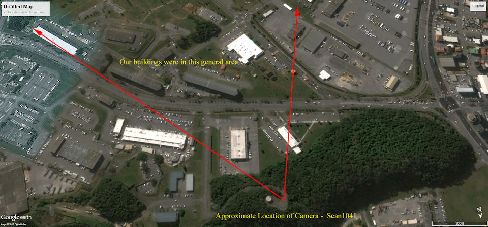 |
Overhead satellite view from Google Earth Pro showing approximate camera location of previous picture. Water Tank near apex of red triangle in lower part of picture. Original Buildings are gone. New ones in some places similar in length and width. Image taken Jan. 30, 2014. Google Coordinates are 26D 18M 33.83S N 127D 46M 04.08S E..... Gary Gloyd |
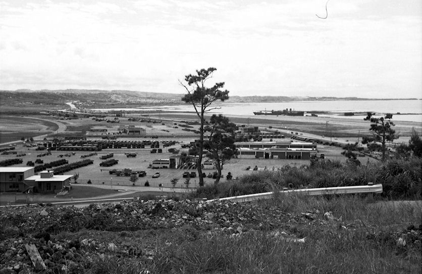 |
1958/59. View looking south from water tank. Sukiran, and power barge on coast, which supplied the electricity for the Sukiran area, and possibly Ft. Buckner as well. Marine Corp helicopter base to left of power barge. We sometimes used these helicopters and Marine pilots to drop leaflets. Pilots were enlisted sergeants. My introduction to “autogyro” was landing in one of these, when pilot gets altitude above landing pad, then cuts all power, and lets the chopper settle like a maple seed. Scarey!.....Gary Gloyd |
 |
Another view of The Power Barge In Sukiran |
 |
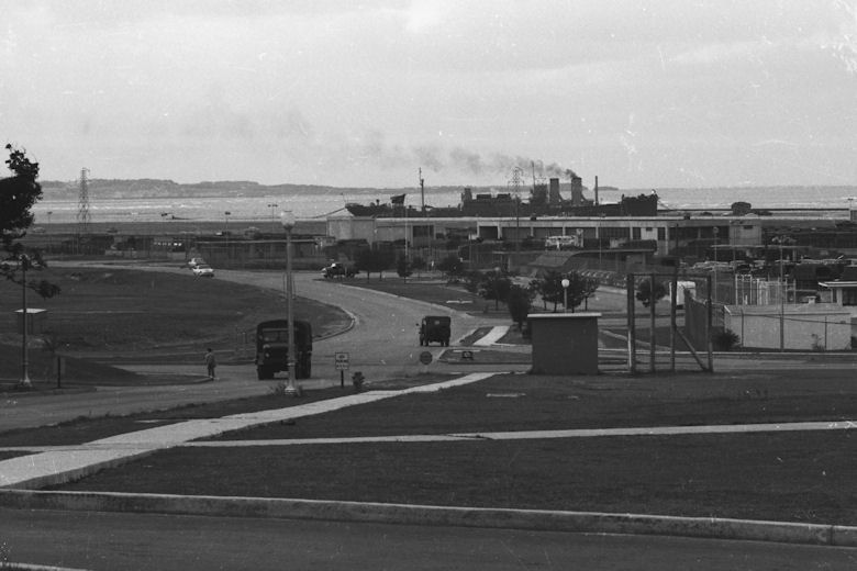
1958/59. View looking North towards Kadena from water tank. John Mohr taking picture. US Hospital on right.....Gary Gloyd |
 |
 |
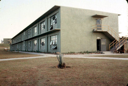
End View of Barracks |
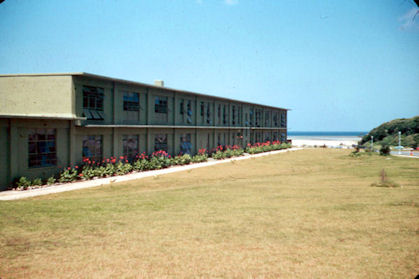
Western View of Barracks Toward East China Sea |
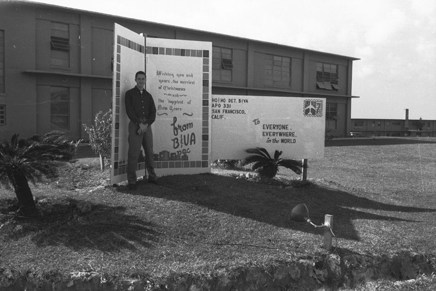 |
Gary Gloyd In Front of Barracks Christmas 1958 |
 |
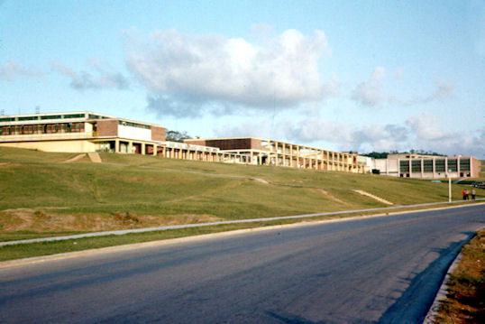 |
Sukiran Area Looking South. Chapel on Left |
Sukiran PX and Stores |
 |
 |
View Northeast From Sukiran Chapel Toward Barracks |
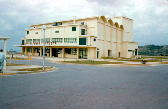
Ft Buckner Theatre |
 |
 |
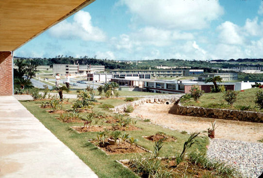
View From USARYIS HQ Looking South Toward Futema |
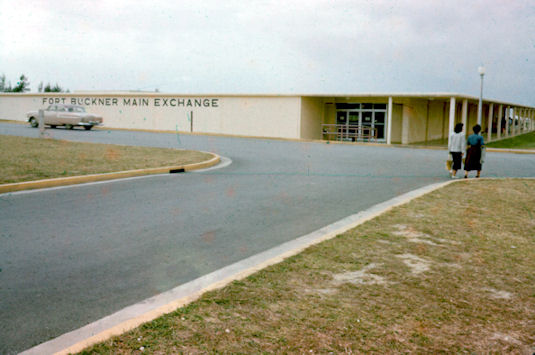
Fort Buckner PX |